


 Podcasts
 Shop
Shop
 Our partners


Before you go any further...
I've read and accept the Terms of Use and the Privacy Policy.
I accept to receive newsletter and other communications associated with firms of The Explorers Network group'
I accept to receive commercial offers of The Explorers Network partners'.


Thanks!
Vote everyday for your favorite content
SENSITIVE CONTENT
This media contains sensitive content which some people may find disturbing or offensive.
You must be 15 years of age or older to view sensitive content.
Log inBirthday
Content being validated
THE EXPLORERS +
Watch our premium movies
The Explorers + is our premium movie catalog in Ultra High Definition (HD/4K/8K)! Hundreds of videos already available and daily new content on all your devices (web, mobile, tablets, smart TV).

Post content (photo or video) and get 1-month free
OR
Subscribe and support The Explorers Foundation's field actions for biodiversity.
Content being validated
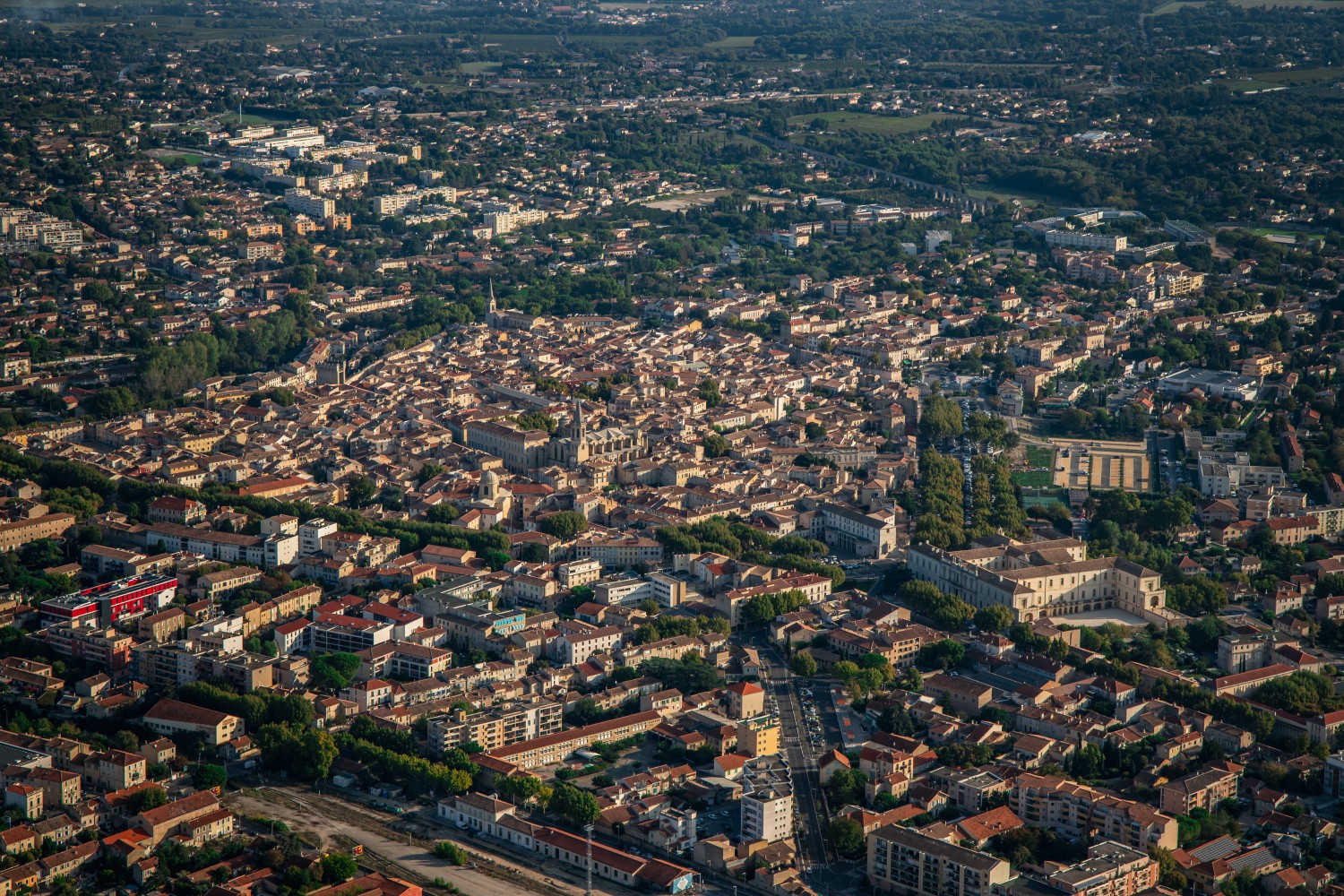
A locality implanted in the Comtat plain
0
0

The municipality of Carpentras covers 9,370 acres (3,792 ha) in the Comtat plain between 183 and 695 ft (56 and 212 m) above sea level. Its territory is delimited by the Mont Ventoux to the north, the Monts de Vaucluse to the east, the Rhône to the west, and the Durance to the south. It alternates between agricultural lands dominated by viticulture, valleys, and small hills becoming more important eastwards. The historic heart of Carpentras, located inside the old city walls, extends on a plateau 311 ft (95 m) above sea level.

Related content

Médias en cours d’exploration