

Before you go any further...
I've read and accept the Terms of Use and the Privacy Policy.
I accept to receive newsletter and other communications associated with firms of The Explorers Network group'
I accept to receive commercial offers of The Explorers Network partners'.


Thanks!
Vote everyday for your favorite content
SENSITIVE CONTENT
This media contains sensitive content which some people may find disturbing or offensive.
You must be 15 years of age or older to view sensitive content.
Log inBirthday
Content being validated
THE EXPLORERS +
Watch our premium movies
The Explorers + is our premium movie catalog in Ultra High Definition (HD/4K/8K)! Hundreds of videos already available and daily new content on all your devices (web, mobile, tablets, smart TV).
Post content (photo or video) and get 1-month free
OR
Subscribe and support The Explorers Foundation's field actions for biodiversity.
Content being validated
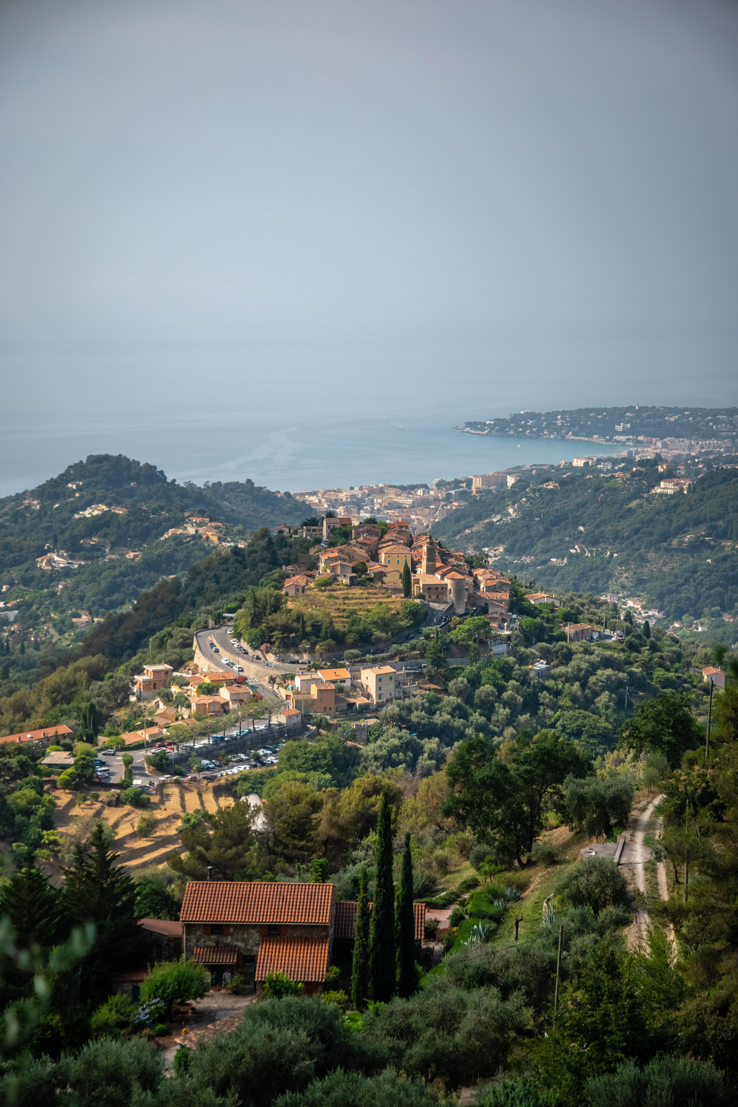
A locality with a marked relief
0
0

The territory of the municipality of Castellar in the Alpes-Maritimes department is oriented north-south. Adjoined to the east by the Italian border and the localities of Olivetta San Michele and Ventimiglia from north to south, it is adjacent with the municipalities of Sospel to the north, Castillon to the north-west and Menton to the west and south. Its rugged relief is formed by high hills and steep mountains dominated by the peaks of Mont Mulacié (4,350 ft / 1,326 m), Mont Razet (4,219 ft / 1,286 m), Gramondo (4,520 ft / 1,378 m) and Roc de l'Orméa (3,713 ft / 1,132 m). It is cut by the Careï, Fossan, and Albaréa watercourses and ends in the west with the Careï Valley.
Related content

Médias en cours d’exploration