

Before you go any further...
I've read and accept the Terms of Use and the Privacy Policy.
I accept to receive newsletter and other communications associated with firms of The Explorers Network group'
I accept to receive commercial offers of The Explorers Network partners'.


Thanks!
Vote everyday for your favorite content
SENSITIVE CONTENT
This media contains sensitive content which some people may find disturbing or offensive.
You must be 15 years of age or older to view sensitive content.
Log inBirthday
Content being validated
THE EXPLORERS +
Watch our premium movies
The Explorers + is our premium movie catalog in Ultra High Definition (HD/4K/8K)! Hundreds of videos already available and daily new content on all your devices (web, mobile, tablets, smart TV).
Post content (photo or video) and get 1-month free
OR
Subscribe and support The Explorers Foundation's field actions for biodiversity.
Content being validated
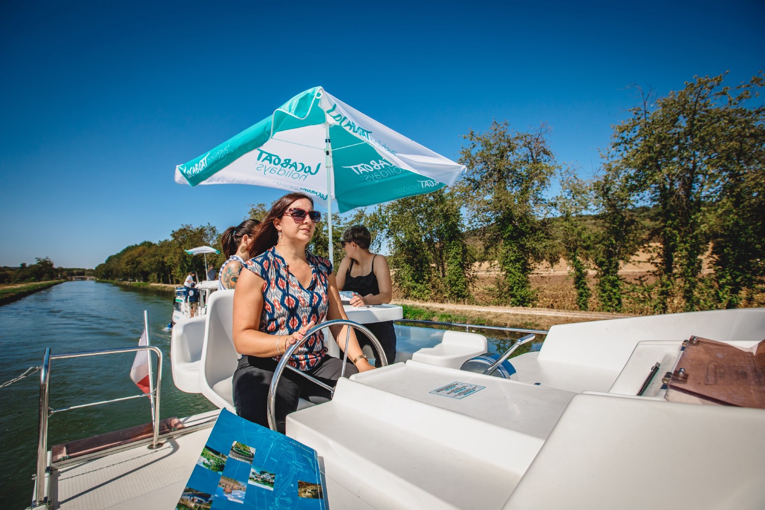
A mapped navigation network
0
0

The canals and navigable rivers of Burgundy extend over 621 miles (1,000 km) divided into three canals and a river, the Seille, a tributary of the Saône reserved for pleasure boating over 30 miles (49 km). The longest of the canals is the 'Canal de Bourgogne' (150 miles / 242 km), followed by the Canal du Nivernais (110 miles / 178 km) and the Canal du Centre (69 miles / 112 km). Navigating these watercourses requires the use of maps of the navigable network to visualize the routes, know their mileage, the number and size of the locks, the drafts, the ports and the possible stops ... More touristic brochures are also distributed by the boat rental companies to their customers.
Related content

Médias en cours d’exploration