

Before you go any further...
I've read and accept the Terms of Use and the Privacy Policy.
I accept to receive newsletter and other communications associated with firms of The Explorers Network group'
I accept to receive commercial offers of The Explorers Network partners'.


Thanks!
Vote everyday for your favorite content
SENSITIVE CONTENT
This media contains sensitive content which some people may find disturbing or offensive.
You must be 15 years of age or older to view sensitive content.
Log inBirthday
Content being validated
THE EXPLORERS +
Watch our premium movies
The Explorers + is our premium movie catalog in Ultra High Definition (HD/4K/8K)! Hundreds of videos already available and daily new content on all your devices (web, mobile, tablets, smart TV).
Post content (photo or video) and get 1-month free
OR
Subscribe and support The Explorers Foundation's field actions for biodiversity.
Content being validated
A torrential flow fed by tributaries
0
0

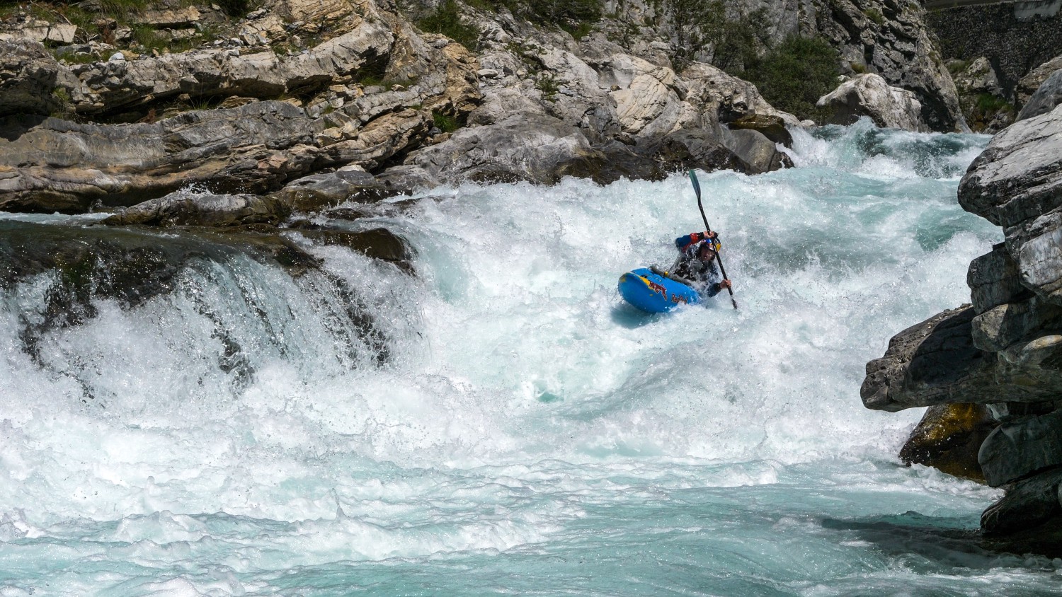
The route of the Guil river follows that of the Queyras valley over a length of 82.8 miles (51.5 kilometers) with an average slope of 2.4 % that can locally exceed 6 %. Fed throughout their journey by 179 torrents and tributaries, the Guil's waters swell and reach an average flow of around 10m3/second with an increase between May and July linked to snowmelt, rising temperatures, and spring rainfalls. The power of the torrent then rejoices the white water sports enthusiasts and explains the construction between 1979 and 1982 of the Maison du Roi dam.
Related content

Médias en cours d’exploration