

Before you go any further...
I've read and accept the Terms of Use and the Privacy Policy.
I accept to receive newsletter and other communications associated with firms of The Explorers Network group'
I accept to receive commercial offers of The Explorers Network partners'.


Thanks!
Vote everyday for your favorite content
SENSITIVE CONTENT
This media contains sensitive content which some people may find disturbing or offensive.
You must be 15 years of age or older to view sensitive content.
Log inBirthday
Content being validated
THE EXPLORERS +
Watch our premium movies
The Explorers + is our premium movie catalog in Ultra High Definition (HD/4K/8K)! Hundreds of videos already available and daily new content on all your devices (web, mobile, tablets, smart TV).
Post content (photo or video) and get 1-month free
OR
Subscribe and support The Explorers Foundation's field actions for biodiversity.
Content being validated
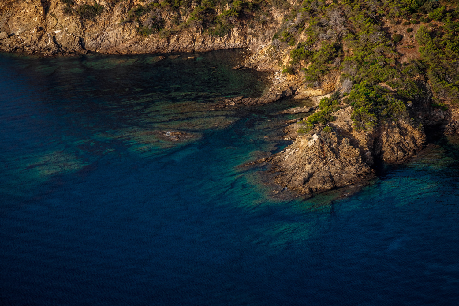
Three distinct topographic units
0
0

The topographic formation of the municipality of Bormes-les-Mimosas follows a geological base with three distinct units. In the northeast, the Maures Massif, mainly composed of gneiss, represents two-thirds of the municipal territory. In the center, the Batailler plain includes formations of mica schists interspersed with old or recent alluvium. As for the coast of Cap Bénat, it consists of various types of mica schists and a quaternary formation mainly composed of sandstone schists.
Related content

Médias en cours d’exploration