Before you go any further...
I've read and accept the Terms of Use and the Privacy Policy.
I accept to receive newsletter and other communications associated with firms of The Explorers Network group'
I accept to receive commercial offers of The Explorers Network partners'.
Thanks!
Vote everyday for your favorite content
SENSITIVE CONTENT
This media contains sensitive content which some people may find disturbing or offensive.
You must be 15 years of age or older to view sensitive content.
Log inBirthday
Content being validated
THE EXPLORERS +
Watch our premium movies
The Explorers + is our premium movie catalog in Ultra High Definition (HD/4K/8K)! Hundreds of videos already available and daily new content on all your devices (web, mobile, tablets, smart TV).
Post content (photo or video) and get 1-month free
OR
Subscribe and support The Explorers Foundation's field actions for biodiversity.

Content being validated
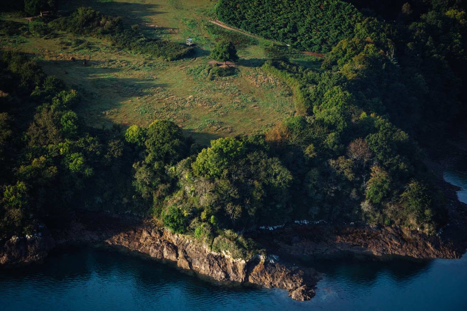
The maritime Rance Valley and its rocky points
1
0
The maritime Rance Valley is a salt basin closed to the north by the Rance dam and to the south by the Châtelier lock, downstream of which the water becomes brackish. It is characterized by its own rhythm of tides as well as by its rocky points surmounted by afforestation which advance on the water creating perspectives specific to the estuary. The shape of the basin, the stalls and the points result from modifications to the layout of the Rance as well as from the different layers with different resistance to erosion and to the microclimates that make up the rocky alignments.
Related content

Médias en cours d’exploration

