

Before you go any further...
I've read and accept the Terms of Use and the Privacy Policy.
I accept to receive newsletter and other communications associated with firms of The Explorers Network group'
I accept to receive commercial offers of The Explorers Network partners'.


Thanks!
Vote everyday for your favorite content
SENSITIVE CONTENT
This media contains sensitive content which some people may find disturbing or offensive.
You must be 15 years of age or older to view sensitive content.
Log inBirthday
Content being validated
THE EXPLORERS +
Watch our premium movies
The Explorers + is our premium movie catalog in Ultra High Definition (HD/4K/8K)! Hundreds of videos already available and daily new content on all your devices (web, mobile, tablets, smart TV).
Post content (photo or video) and get 1-month free
OR
Subscribe and support The Explorers Foundation's field actions for biodiversity.
Content being validated
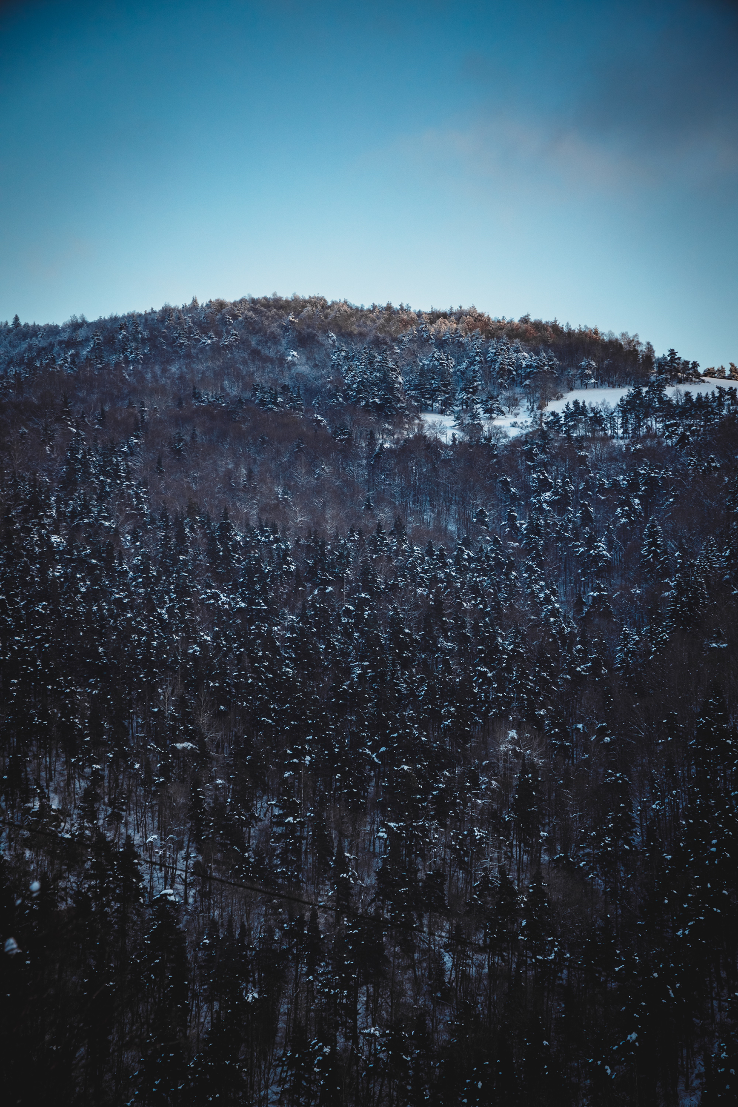
The beech and fir forests of Mount Lozère
0
0

Mount Lozère is a granite massif that culminates at an altitude of 5,574.15 feet (1699 m). This mountain, the highest point in the Cévennes range, is nicknamed the ‘mountain of sources’. It is located between the municipalities of Bleymard, Florac, Pont-de-Montvert, and Villefort. Winter on Mount Lozère is particularly vigorous. In summer, it is wet and green, with streams running through it. Its flanks are covered with beech and fir forests, and herds of cattle graze on its pastures up to 4,265 feet (1300 m).
Related content

Médias en cours d’exploration