

Before you go any further...
I've read and accept the Terms of Use and the Privacy Policy.
I accept to receive newsletter and other communications associated with firms of The Explorers Network group'
I accept to receive commercial offers of The Explorers Network partners'.


Thanks!
Vote everyday for your favorite content
SENSITIVE CONTENT
This media contains sensitive content which some people may find disturbing or offensive.
You must be 15 years of age or older to view sensitive content.
Log inBirthday
Content being validated
THE EXPLORERS +
Watch our premium movies
The Explorers + is our premium movie catalog in Ultra High Definition (HD/4K/8K)! Hundreds of videos already available and daily new content on all your devices (web, mobile, tablets, smart TV).
Post content (photo or video) and get 1-month free
OR
Subscribe and support The Explorers Foundation's field actions for biodiversity.
Content being validated
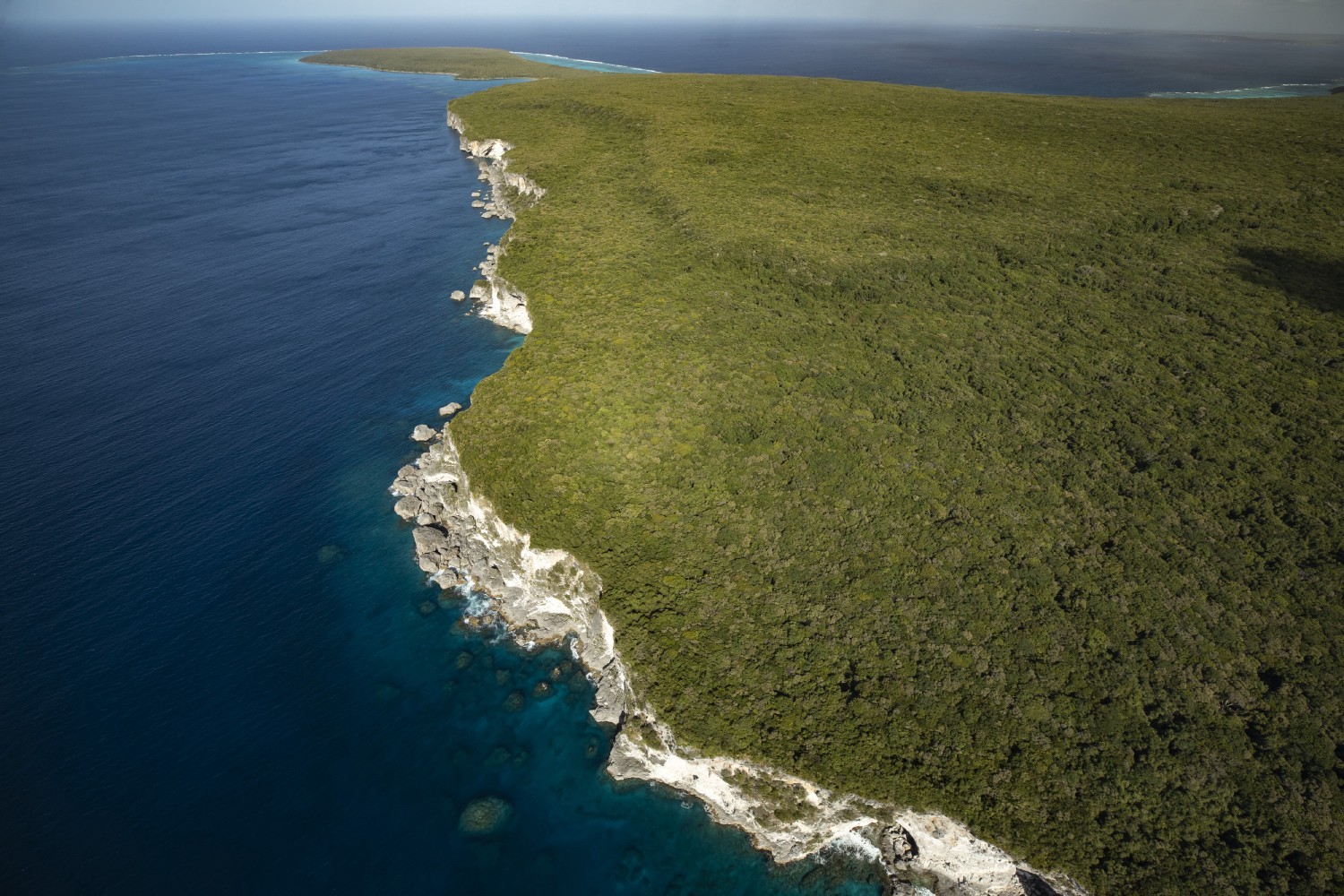
Maping of northern Maré
0
0

At the beginning of the 19th century, the explorer Jules Dumont d'Urville was tasked with recognizing the southernmost islands of the Loyalty archipelago discovered by Lapérouse. In June 1827, he sailed along the north coast of Maré aboard the Astrolabe and recognized Cap Roussin (Dua i Rekabeco) and the cliffs of the northwest (North Bay) of the island which he identified as a limestone formation, probably madreporic. He reported the profile of the northern coasts of the island on which appeared a shortened Cap Roussin.
Related content

Médias en cours d’exploration