

Before you go any further...
I've read and accept the Terms of Use and the Privacy Policy.
I accept to receive newsletter and other communications associated with firms of The Explorers Network group'
I accept to receive commercial offers of The Explorers Network partners'.


Thanks!
Vote everyday for your favorite content
SENSITIVE CONTENT
This media contains sensitive content which some people may find disturbing or offensive.
You must be 15 years of age or older to view sensitive content.
Log inBirthday
Content being validated
THE EXPLORERS +
Watch our premium movies
The Explorers + is our premium movie catalog in Ultra High Definition (HD/4K/8K)! Hundreds of videos already available and daily new content on all your devices (web, mobile, tablets, smart TV).
Post content (photo or video) and get 1-month free
OR
Subscribe and support The Explorers Foundation's field actions for biodiversity.
Content being validated
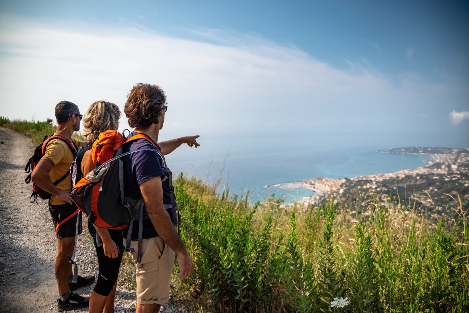
The mapping of the coastal areas
0
0

The Nice-Menton 1:25 000 scale map of the TOP25 series describes the coastal area of the Alpes-Maritimes. Co-published by the National Geographic Institute and the department, it faithfully illustrates the signposted routes and signage located on the various paths. The yellow-painted ground markings in the hinterland are supplemented by thematic polycarbonate plaques on the coastal itineraries. The long-distance hiking trails of the Balcons de la Méditerranée (GR 51) and Santiago de Compostela (GR 653A) are marked out in white and red paint.
Related content

Médias en cours d’exploration