

Before you go any further...
I've read and accept the Terms of Use and the Privacy Policy.
I accept to receive newsletter and other communications associated with firms of The Explorers Network group'
I accept to receive commercial offers of The Explorers Network partners'.


Thanks!
Vote everyday for your favorite content
SENSITIVE CONTENT
This media contains sensitive content which some people may find disturbing or offensive.
You must be 15 years of age or older to view sensitive content.
Log inBirthday
Content being validated
THE EXPLORERS +
Watch our premium movies
The Explorers + is our premium movie catalog in Ultra High Definition (HD/4K/8K)! Hundreds of videos already available and daily new content on all your devices (web, mobile, tablets, smart TV).
Post content (photo or video) and get 1-month free
OR
Subscribe and support The Explorers Foundation's field actions for biodiversity.
Content being validated
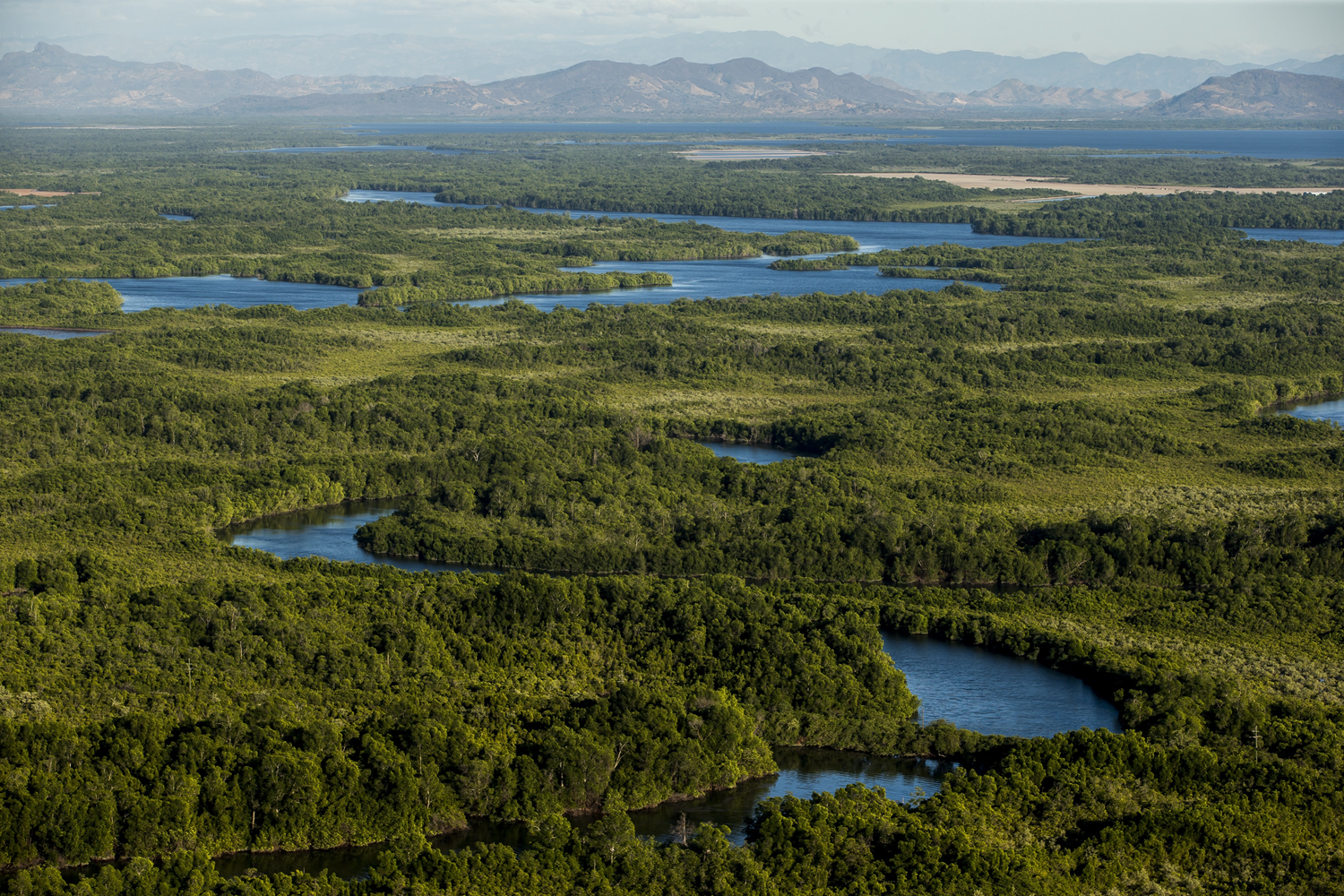
Honduras : its coasts, rivers and lakes
2
0

Honduras stretches over 69,649sqmi (112,090km2) - 99.82% of which is land - between the Caribbean Sea, the Pacific Ocean, Guatemala, El Salvador and Nicaragua. It has 509mi (820km) of coastline and several rivers, the longest of which is the Patuca River (325mi/523km). The largest body of water in the country is Lake Yojoa (49sqmi/79km2), located 114mi (184km) north of the capital Tegucigalpa.
Related content

Médias en cours d’exploration