

Before you go any further...
I've read and accept the Terms of Use and the Privacy Policy.
I accept to receive newsletter and other communications associated with firms of The Explorers Network group'
I accept to receive commercial offers of The Explorers Network partners'.


Thanks!
Vote everyday for your favorite content
SENSITIVE CONTENT
This media contains sensitive content which some people may find disturbing or offensive.
You must be 15 years of age or older to view sensitive content.
Log inBirthday
Content being validated
THE EXPLORERS +
Watch our premium movies
The Explorers + is our premium movie catalog in Ultra High Definition (HD/4K/8K)! Hundreds of videos already available and daily new content on all your devices (web, mobile, tablets, smart TV).
Post content (photo or video) and get 1-month free
OR
Subscribe and support The Explorers Foundation's field actions for biodiversity.
Content being validated
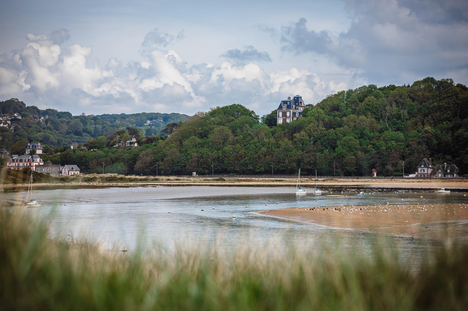
A river across salt marshes
1
0

The Dives flows over approximately 65 miles (105 km) across the Orne and Calvados departments. It extends from its source, at 492 ft (150 m) above sea level in Courménil near Exmes, to its mouth in the English Channel between the dunes of Cabourg and the marina of Dives-sur-Mer. This mainly south-north oriented watercourse with an average slope of 2‰ drains downstream from Mézidon-Canon a vast zone of marshes that extends almost to its mouth. True natural strongholds, these salt marshes and mudflats subject to estuarine dynamics form interface zones between land and sea and present a remarkable ecological diversity.
Related content

Médias en cours d’exploration